|
MAPPING
THE VULNERABILTY OF EUROPE'S SEAS - 15 May 2013.
The seas are Europe’s lifeblood. With the highest ratio of shoreline to land area of any continent, Europe is very much a maritime continent. Now, an EU-funded tool called EMIS (Environmental Marine Information System) allows policymakers and citizens to monitor those seas at the click of a button..
This online database was created by the European Commission's in-house science service, the Joint Research Centre
(JRC). Using data from satellites and computer models, EMIS provides current and historical data on all of Europe’s seas, including surface temperature, salinity, and presence of plankton. By transforming raw data into a visual display, the software makes it easy for policymakers and the public to spot areas of concern and pick out trends over time.
“EMIS is a user-friendly tool which provides pan-European knowledge on marine matters. And that’s a pre-requisite for any decision-making process related to coastal protection and the sustainable management of marine resources,” says Nicolas Hoepffner from the
JRC.
The reach of the European seas – the Mediterranean, Black, Baltic and North Seas, as well as the Atlantic Ocean – extends far inland. The EU fishing industry is the fourth largest in the world, providing some 350,000 jobs, and Europe’s coasts attract millions of tourists every year.
But some of Europe’s seas are under threat. Nutrient runoff into the Baltic Sea has created some of the world’s largest “dead zones” – areas where the sea's oxygen is depleted, threatening fish and other organisms. Warming of seas, caused by climate change, endangers the rich biodiversity in the Mediterranean Sea.
To tackle these problems, the EU adopted the Marine Strategy Framework Directive in 2008. The Directive requires that member states assess their seas and establish programmes to maintain or improve them to reach good environmental status by 2020. EMIS and other tools are contributing to that task by mapping the vulnerability of Europe’s seas. “Through systematic monitoring of key physical and biological variables, the EMIS system can assist EU Member States in their assessment of their coastal and marine waters, as required by the Marine Strategy Framework Directive,” says
Hoepffner.
Another research focus in the JRC has been investigating major changes in European seas over the last 50 years. These analyses draw on both numerical modelling and satellite observations.
Research published in 2009 analysed the most complete satellite measurements of the Mediterranean Sea surface temperature to date. It indicated that the average surface temperature in the Mediterranean has been rising by 0.04°C per year over the last 20 years.
A complementary analysis, examining historical surface temperature of all the other European seas, is now in progress. The analysis reveals an increasing temperature of up to 0.09°C per year in specific areas, such as the southern Baltic Sea. The JRC is also investigating the lifecycle of “phytoplankton blooms” – when numbers of microscopic algae rapidly increase in the sea. These blooms can lead to dead zones, but they also are an important part of the marine food chain, as many fish, and even whales, feed on plankton.
The blooms change in timing and magnitude, and the JRC researchers are interested in understanding these dynamics.
“It has been demonstrated, in the US and Canada for instance, that a delay in the initiation of the bloom can affect the larvae of fish, and that in turn affects the abundance of fish for that year. Ongoing research is looking into what those effects are,” says
Hoepffner.

The
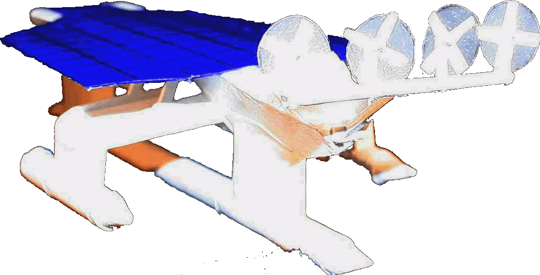
ultimate Robot Boat. Solarnavigator uses an advanced SWASSH
hull as the platform
to
mount the world's first autonomous circumnavigation. A successful
expedition could pave the way for improved safety
at sea.
|

